
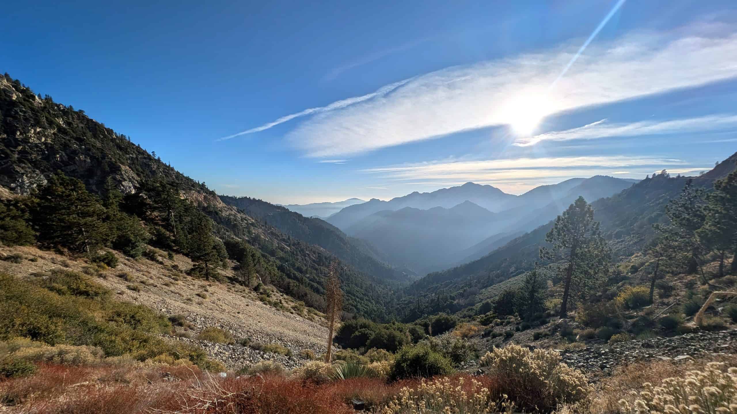
From Santa Monica Pier to the Angeles Crest Highway
That Sunday morning, I was sitting on my favorite bench at the Santa Monica Pier with a large latte. Little did I know that just a few hours later, the Angeles Crest Highway would take me from the Pacific Ocean all the way into the snow of the San Gabriel Mountains.
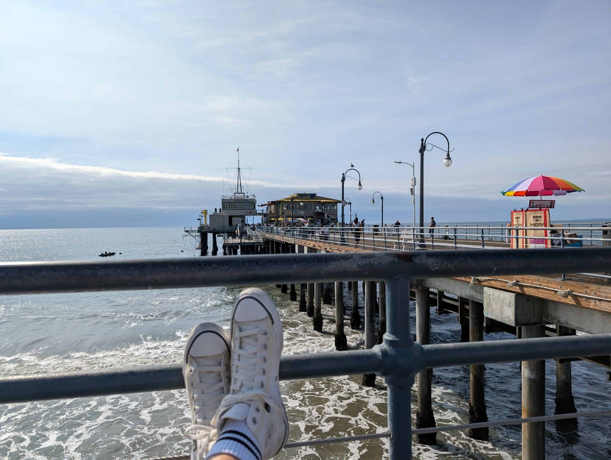
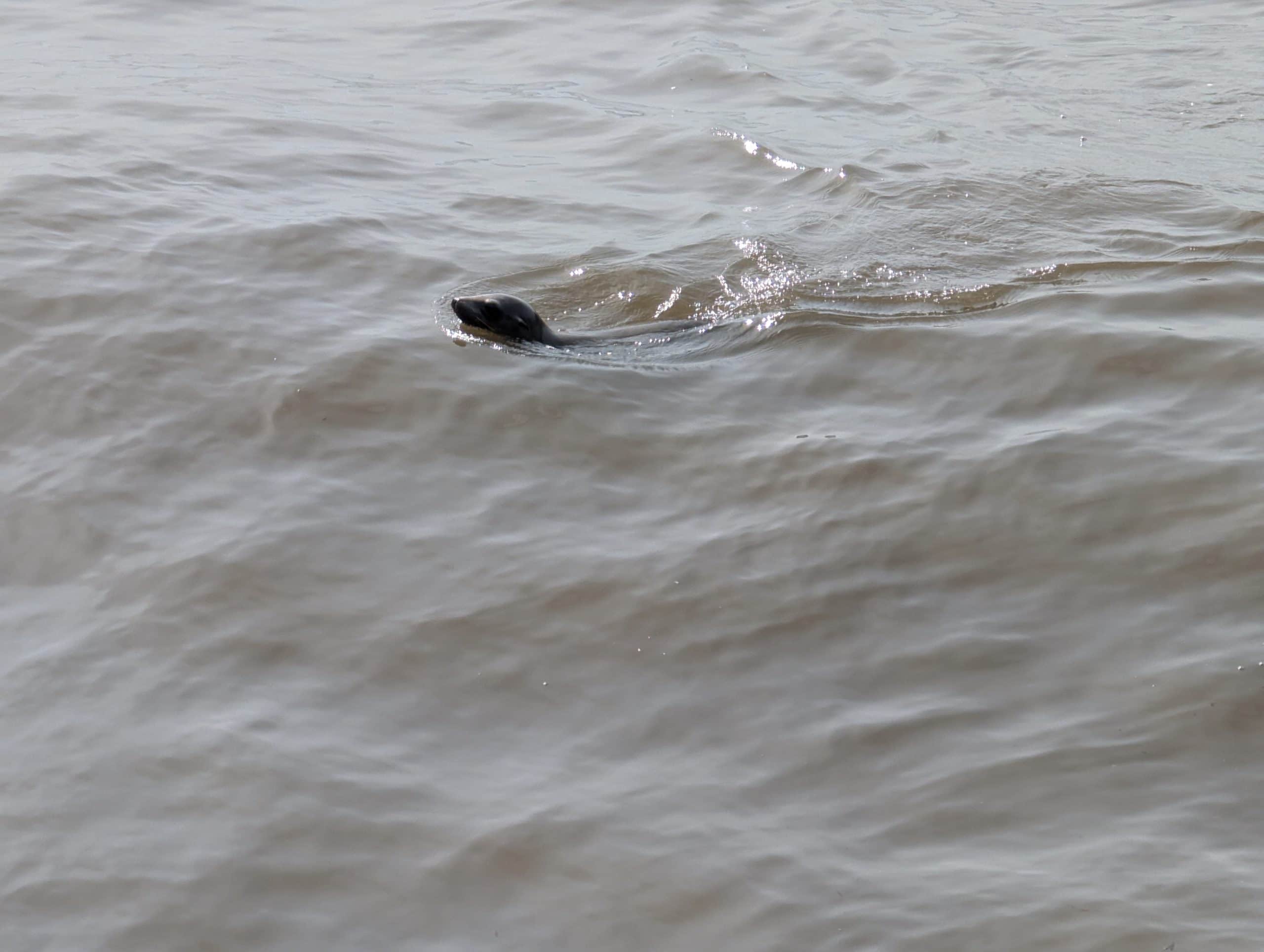
As I sipped my coffee, a little harbor seal suddenly popped up beside the pier. It swam through the waves just a few yards in front of me, lifted its head as if to see what was going on, and disappeared again. Nothing earth-shattering. Most people probably didn’t even notice. But for me, that little visitor became the unexpected highlight of the morning.
Discovering the Los Angeles I Didn’t Know
Sitting there, I started wondering what to do with the rest of my day. I wasn’t in the mood for Hollywood, and Downtown Los Angeles wasn’t calling my name either. Instead, I remembered a trip my wife and I had taken to Cherry Valley the year before. Even back then, I’d realized how little I actually knew about the areas east of Los Angeles. The Inland Empire, Cajon Pass, and the San Gabriel Mountains were little more than names on a map to me.
So I decided it was time to take a closer look.
The farther I drove toward the Inland Empire, the more the scenery changed. The familiar sights of Los Angeles slowly faded into the background. The mountains grew closer, the roads opened up, and everything started to feel bigger. Eventually, I reached Cajon Pass, one of the major gateways between the Los Angeles Basin and the Mojave Desert.
Mormon Rocks and the Vastness of the American West
I made my first stop at the Mormon Rocks. These enormous sandstone formations look as if someone had tilted giant slabs of rock into the landscape. In reality, they were shaped over millions of years by geological forces associated with the San Andreas Fault. They take their name from Mormon settlers who traveled through Cajon Pass in covered wagons on their way to Southern California in the mid-19th century. For those travelers, the distinctive rocks served as a landmark on the route toward San Bernardino.
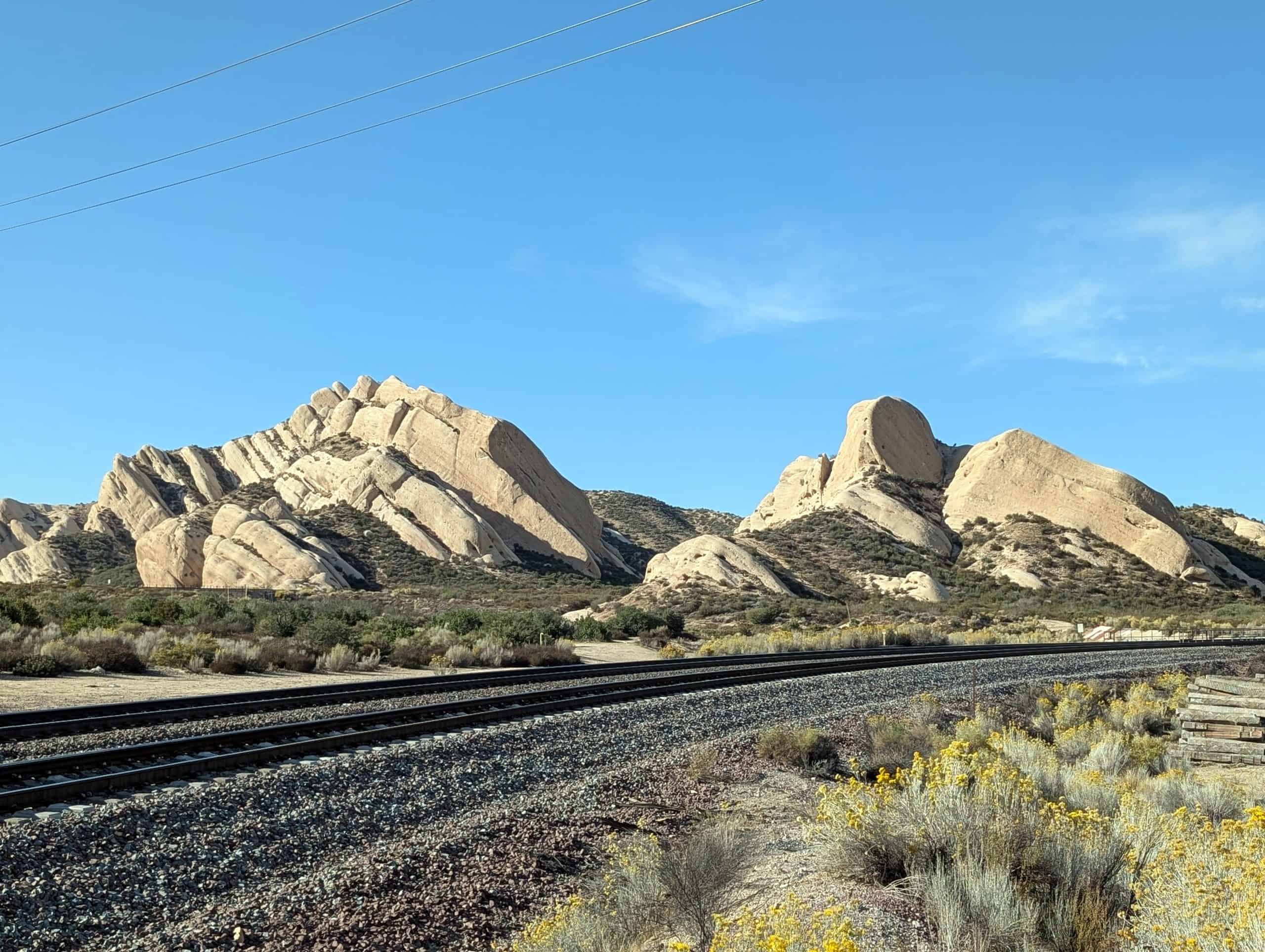
While I stood there, one of those seemingly endless American freight trains rolled through the pass. Locomotive after locomotive slowly pulled its way across the landscape, followed by a line of railcars that seemed to go on forever. Moments like that really bring home the sheer scale of the American West. Those trains don’t just travel through the scenery. They practically become part of it.
Driving the Angeles Crest Highway
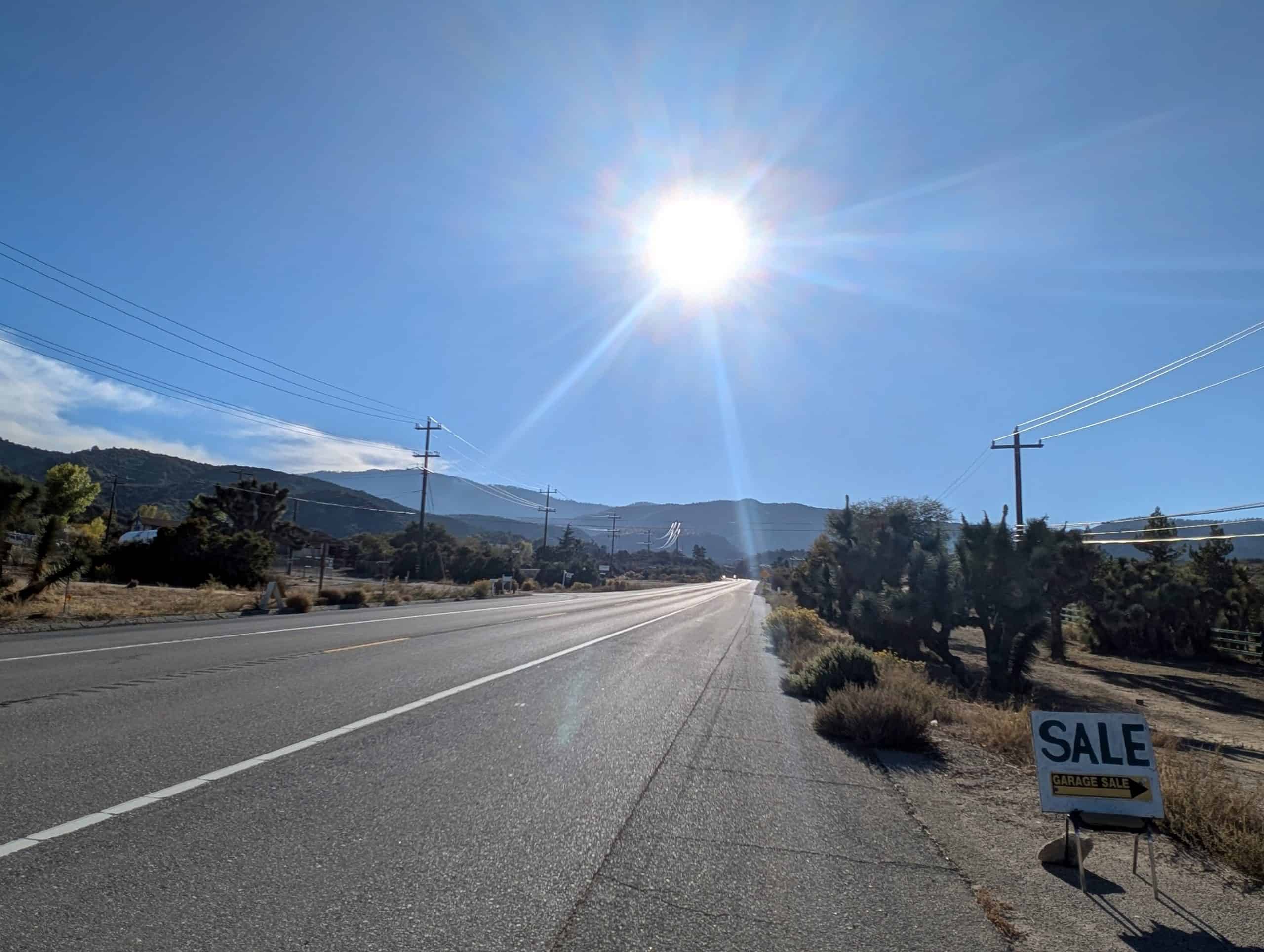
From there, my route took me on to Wrightwood and eventually onto the Angeles Crest Highway. With every bit of elevation I gained, the air grew cooler. The dry hills gradually gave way to thick pine forests. The road twisted and turned through the mountains, and almost every bend revealed another view of valleys, slopes, and distant peaks.
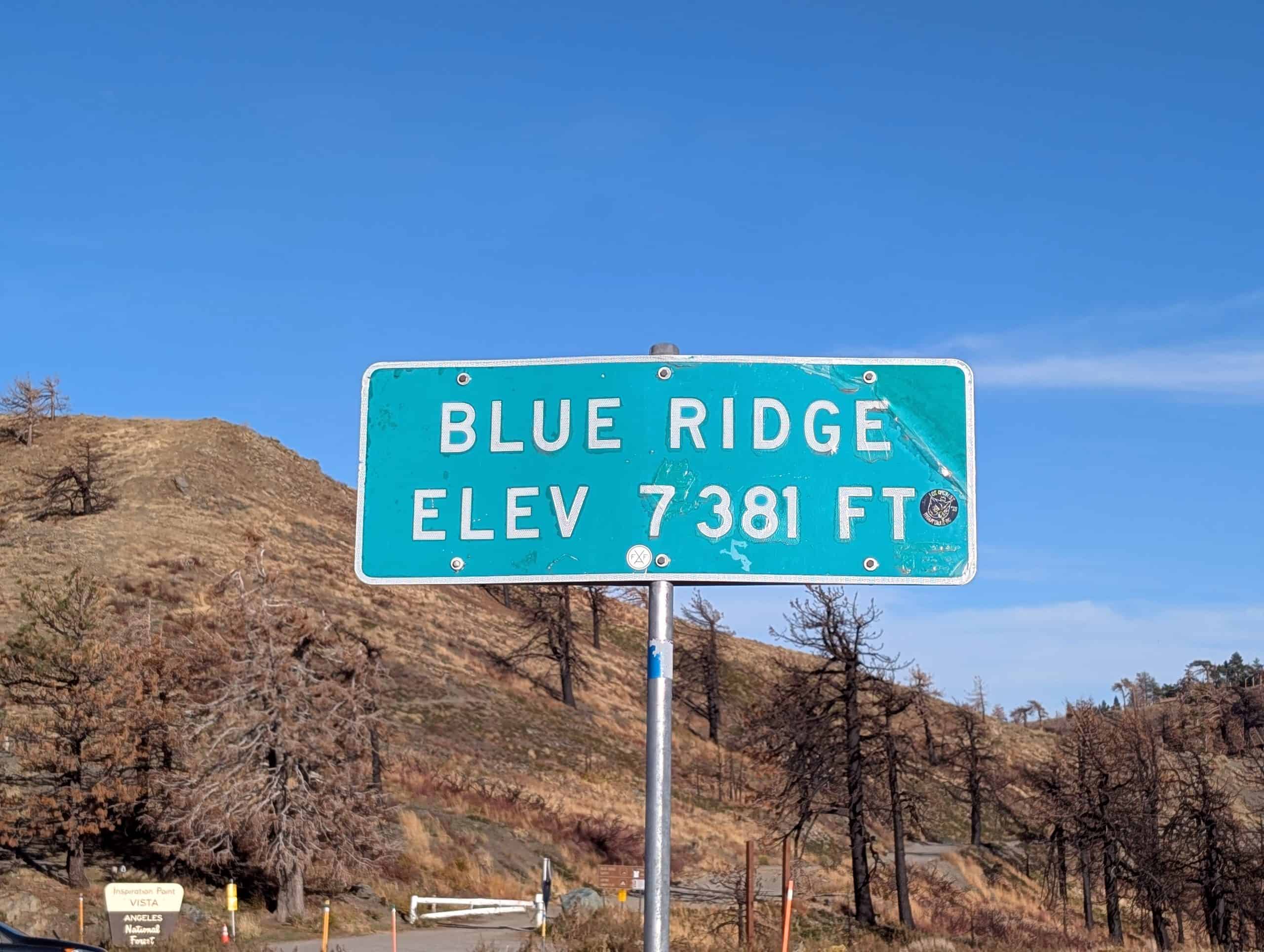
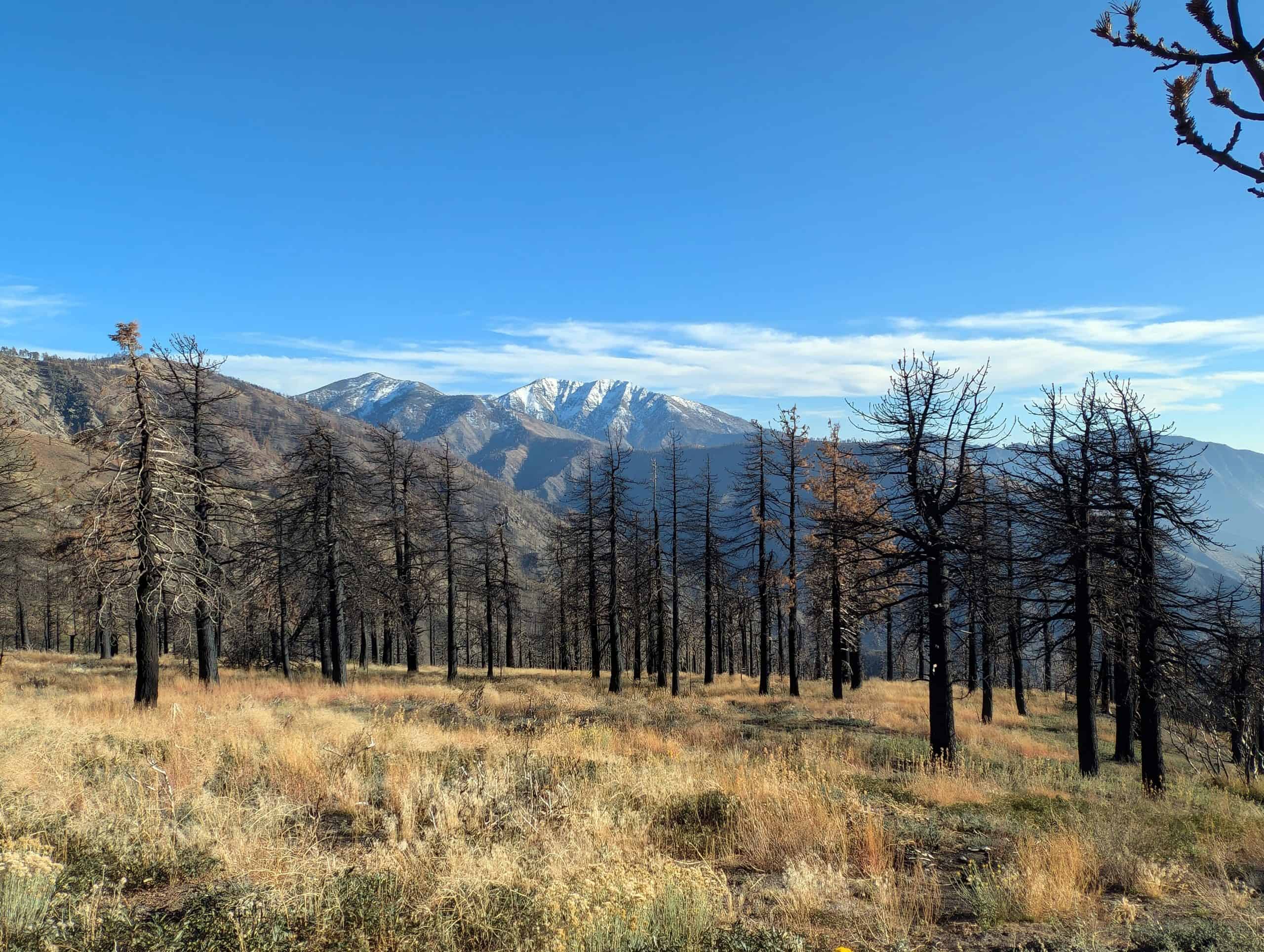
I was especially impressed by the area around Inspiration Point and Blue Ridge. From up there, I could see the snow-covered slopes around Mt. Baldy in one direction, while the Mojave Desert stretched toward the horizon in the other. Standing between those two landscapes was an incredible feeling. Mountains behind me, desert ahead, and somewhere far to the west, the Pacific Ocean where I’d been drinking my coffee only a few hours earlier.
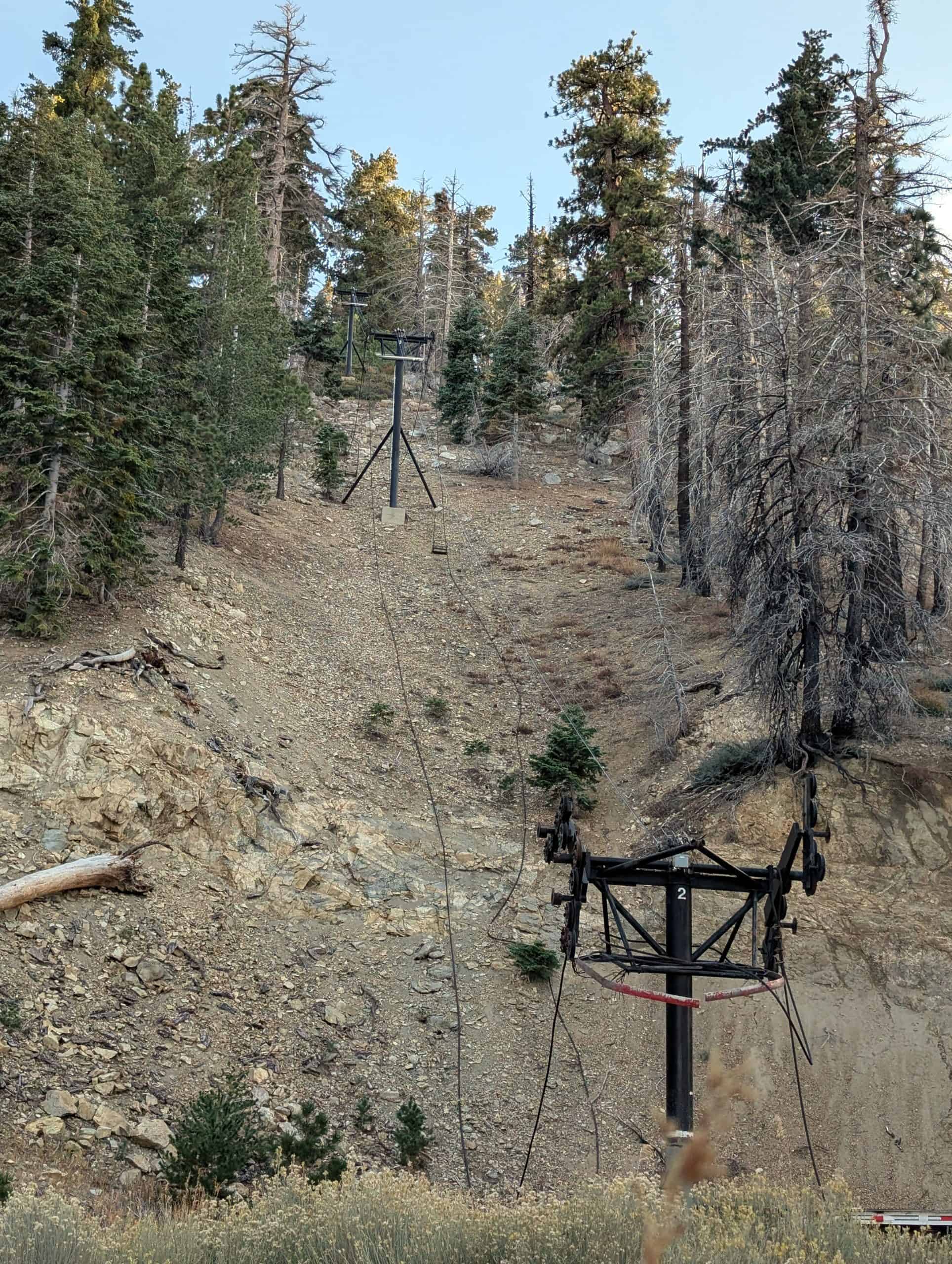
Along the way, I spotted old ski lifts among the pine trees. Their steel towers were still standing on the hillside, looking like relics from another era. I stopped for a moment and wondered what stories the place might have to tell. That day, all I could hear was the wind in the trees.
Then came the moment that made the drive truly unforgettable: there were still patches of snow tucked between the rocks!
While people down at the coast were probably sitting on the beach, I was standing in the snow at over 7,000 feet (about 2,130 meters). I couldn’t help laughing. Not because it was ridiculous, but because the contrast felt so perfectly Southern Californian. Only a few hours separated a harbor seal in the Pacific from snow in the mountains.
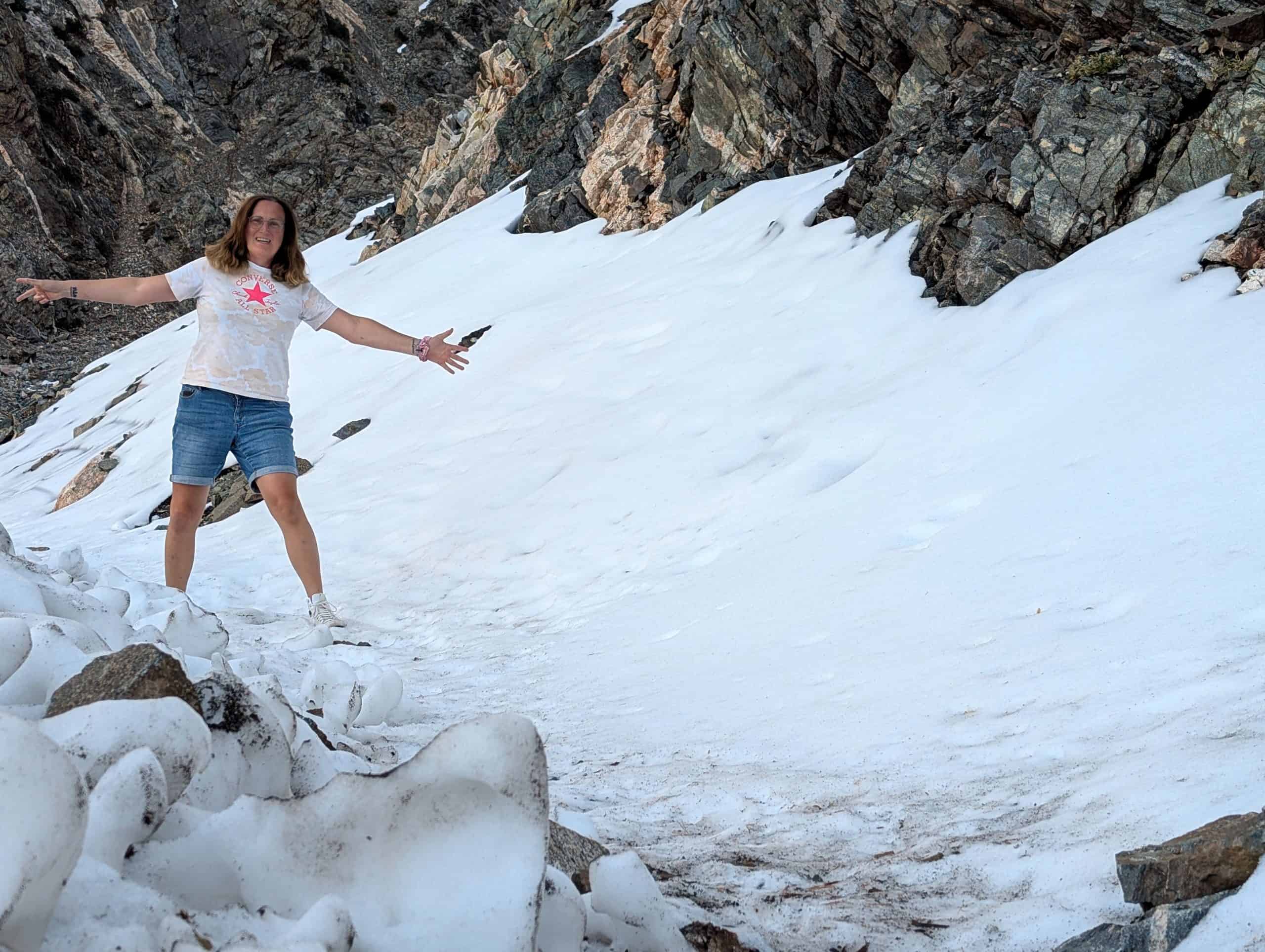
Naturally, I couldn’t resist picking up one of the huge pinecones scattered all around. Probably nothing special to people who spend a lot of time in the mountains. For me, it became a little souvenir from a day that had kept surprising me at every turn.
Chasing the Sunset
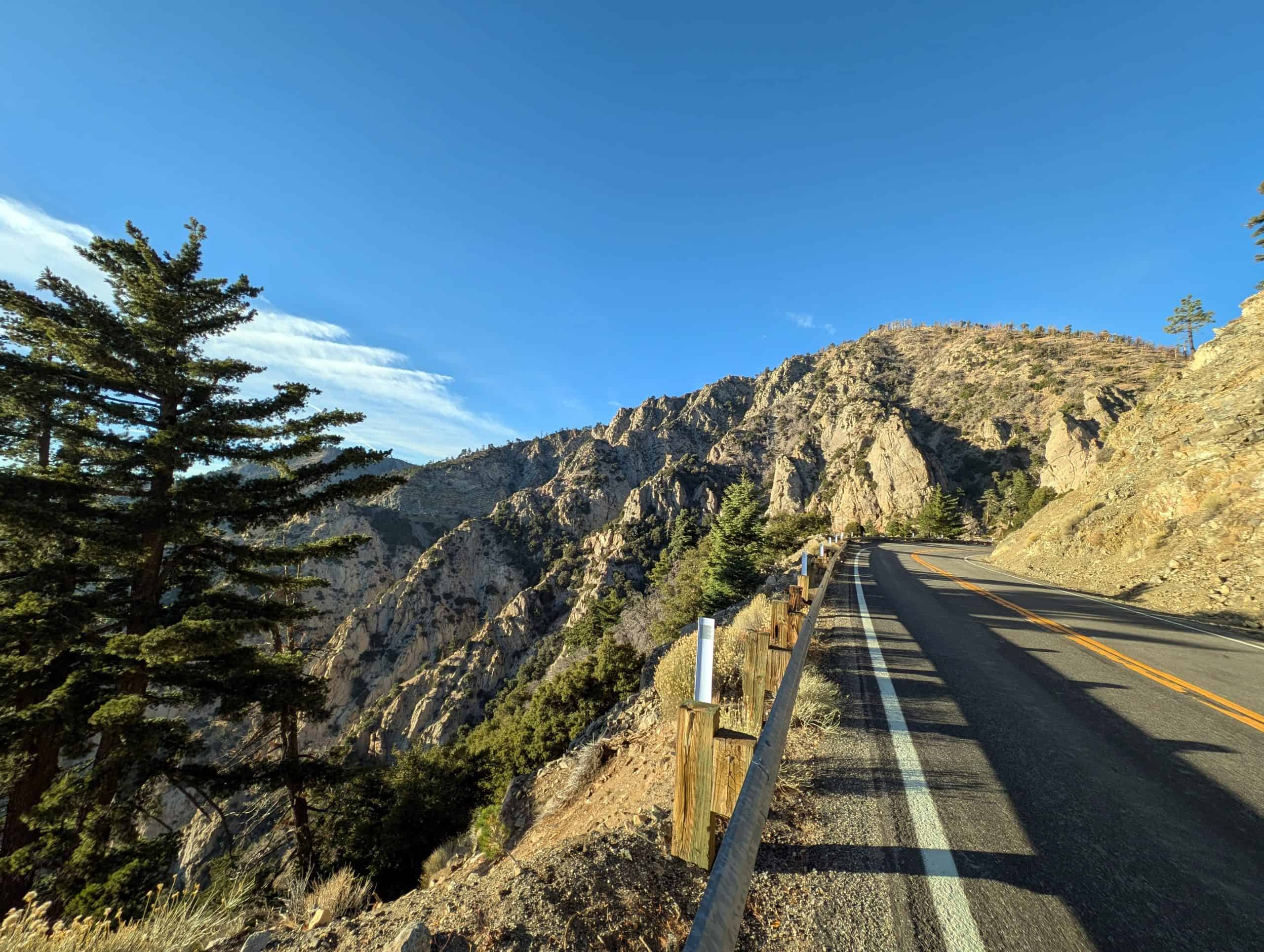
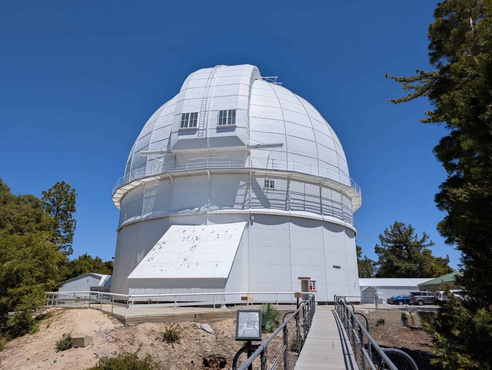
Later, I made a detour to Mount Wilson Observatory. Even the narrow access road is an adventure in itself. It hugs the mountainsides and keeps opening up new views of the surrounding peaks. Once I reached the top, I looked across the mountains and far into the Los Angeles Basin, wondering how on earth anyone had hauled those enormous telescopes up here more than a century ago.
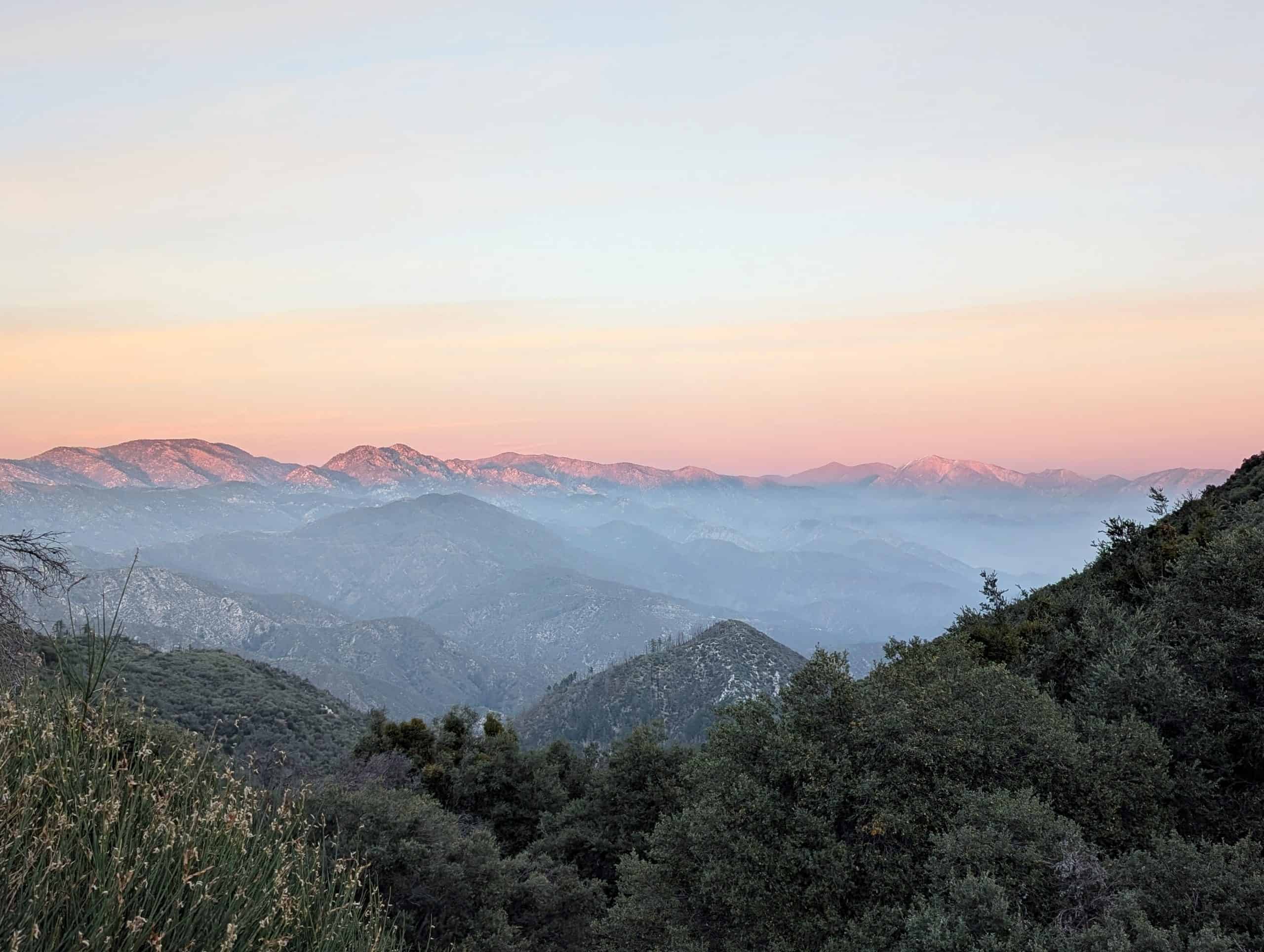
As I continued on my way, the sun began to sink lower in the sky. The light grew warmer, the shadows stretched longer, and the mountains seemed to change from one minute to the next. Peaks glowed in shades of gold and orange while the valleys were already in shadow. Around every bend, another view of the San Gabriel Mountains appeared, and I found myself pulling over more and more often just to take it all in.
The closer I got to the western end of the Angeles Crest Highway, the more spectacular the evening light became. Mountain ranges faded into the haze, one layer after another, as the sun slowly disappeared behind the peaks. At some point, I realized I wasn’t just driving along a beautiful road. I was experiencing one of the most spectacular drives of my life.
By the time I finally reached La Cañada Flintridge, it was already dark. As I drove the last few miles, I replayed everything I’d experienced that day.
Why I Love Southern California
That morning, I’d been sitting at the Santa Monica Pier watching a harbor seal. In between came the Mormon Rocks, impossibly long freight trains, pine forests, patches of snow, views of Mt. Baldy, the vast Mojave Desert, and a sunset in the San Gabriel Mountains.
Maybe that’s exactly why I find Southern California so fascinating. Not because of Hollywood. Not because of the palm trees. But because you never quite know what’s waiting around the next bend.
That Sunday, it wasn’t the famous attractions that surprised me. It was the places I barely knew anything about before I set off.
And that’s why this drive is still one of the best spontaneous day trips I’ve ever taken.
The best way to understand Los Angeles is to experience it! Discover the city’s highlights on my Best of Los Angeles Tour, or plan a day around your own interests with my Los Angeles Private Tour.
